
I’ve been posting about the 1700 acre tract of public land bordering Fair Hill State Park Maryland, just across the Mason Dixon Line in Pennsylvania, since the spring. A few years ago, this area was acquired by the Pennsylvania Department of Conservation and Natural Resources, and was administered as part of White Clay Creek State Preserve. Here are two previous posts about it: The Wilds of Big Elk Creek, The Wilds of Big Elk Creek Part 2.
Since then, this area has been officially designated Big Elk Creek State Park (though my understanding is that the park office is still in White Clay Creek). It certainly deserves to be its own park, if for no other reason than that referring to it as the Big Elk Creek unit of White Clay Creek State Preserve would be mighty cumbersome.
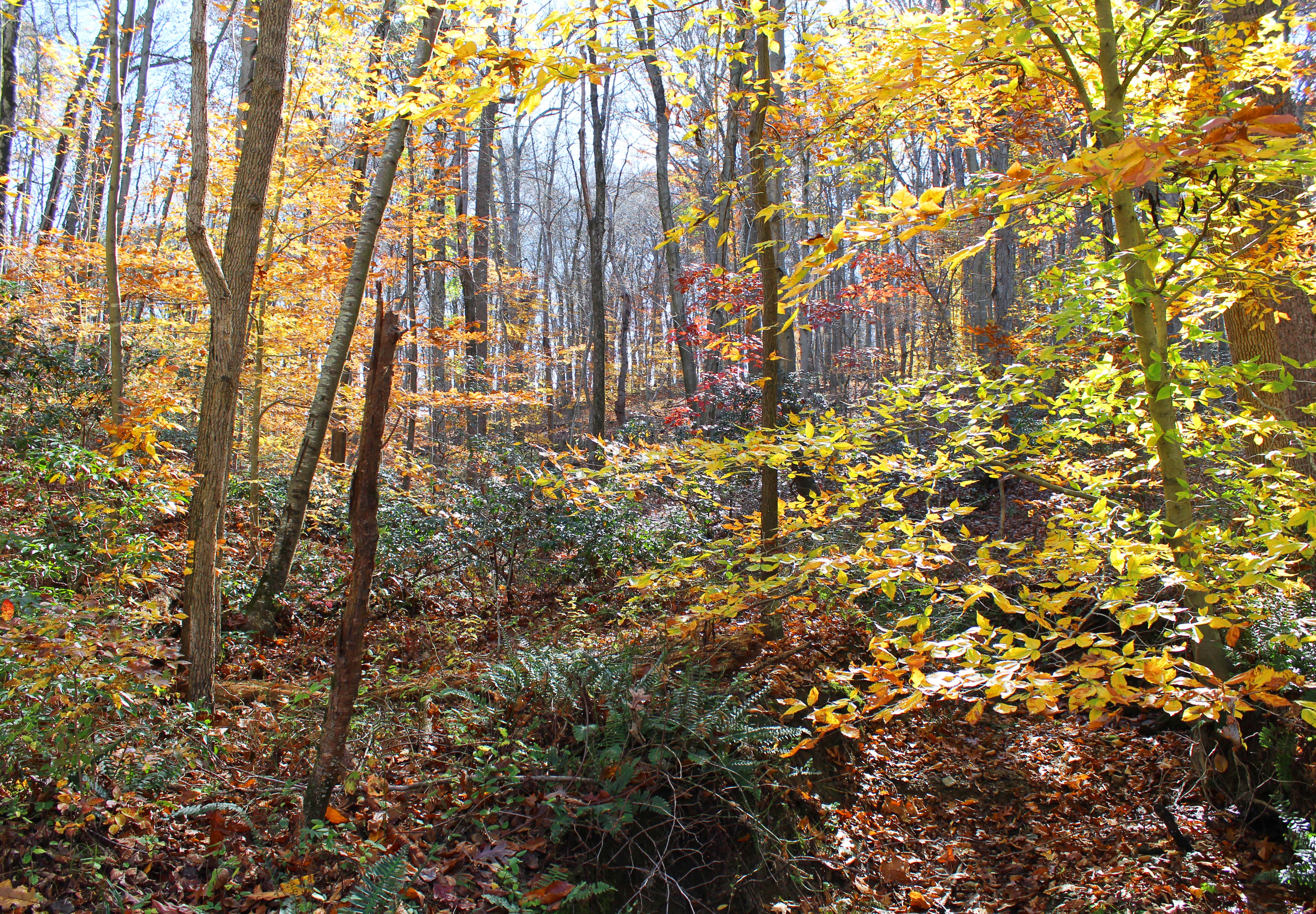
I’ve written fairly extensively about the land in the posts above, but suffice it to say that the 1700 acres are packed with excellent scenery, though not all of it is easily accessible. In particular, the large part of the park north of Big Elk Creek is almost completely undeveloped. And that’s not a complaint. It’s nice having a little bit of (somewhat) wild land within a few miles of the ultra built up I-95 corridor.
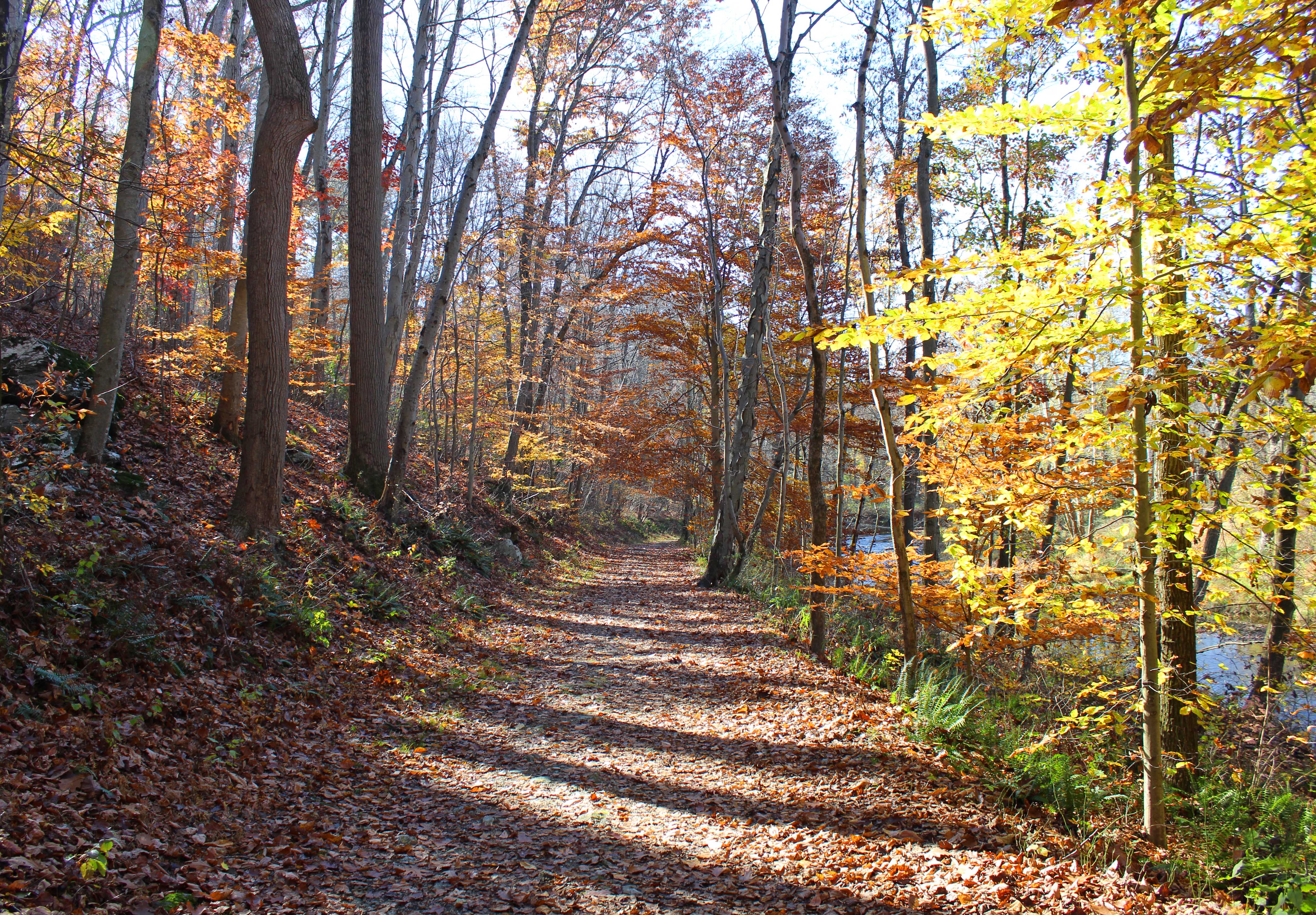
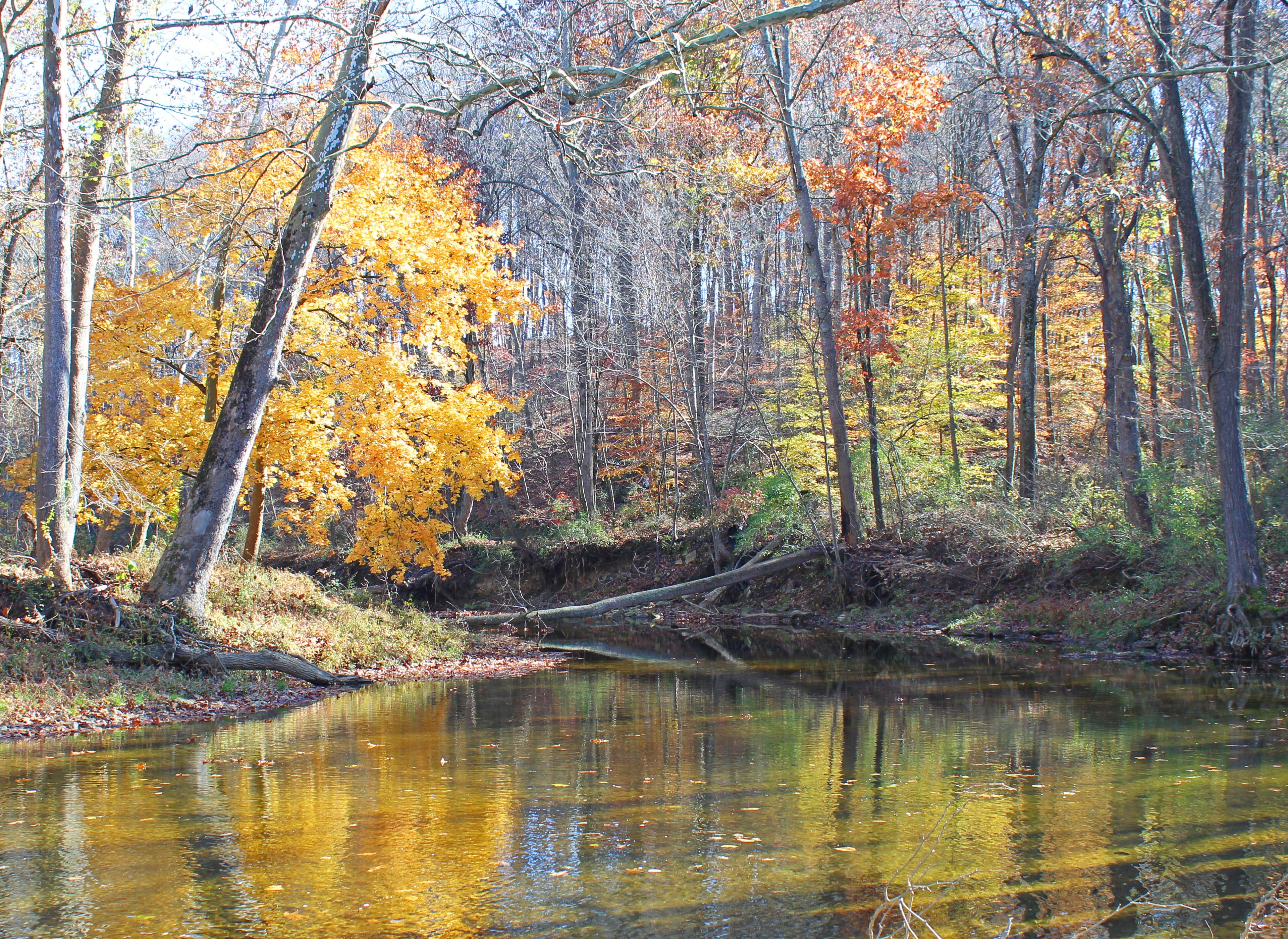
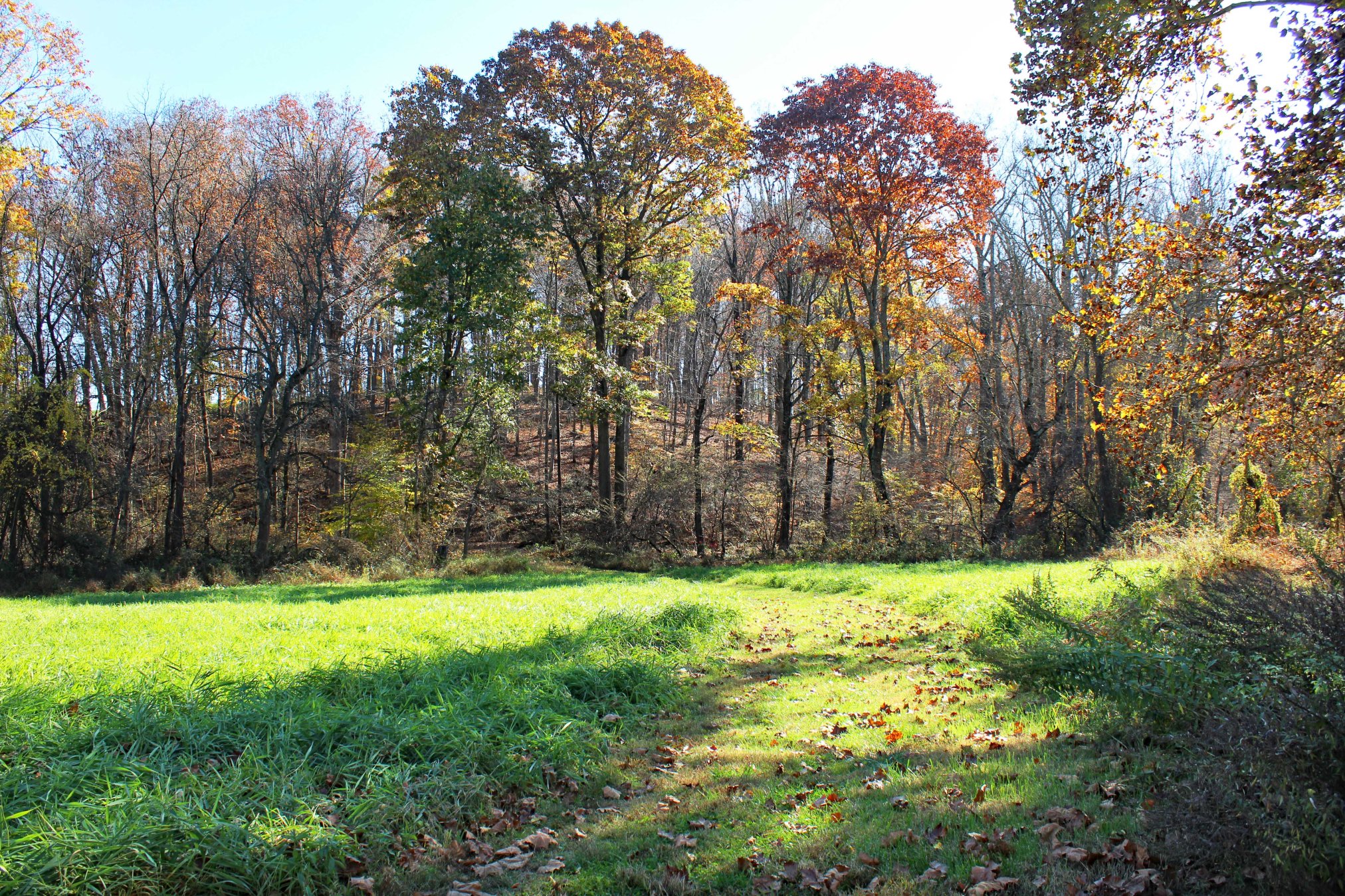
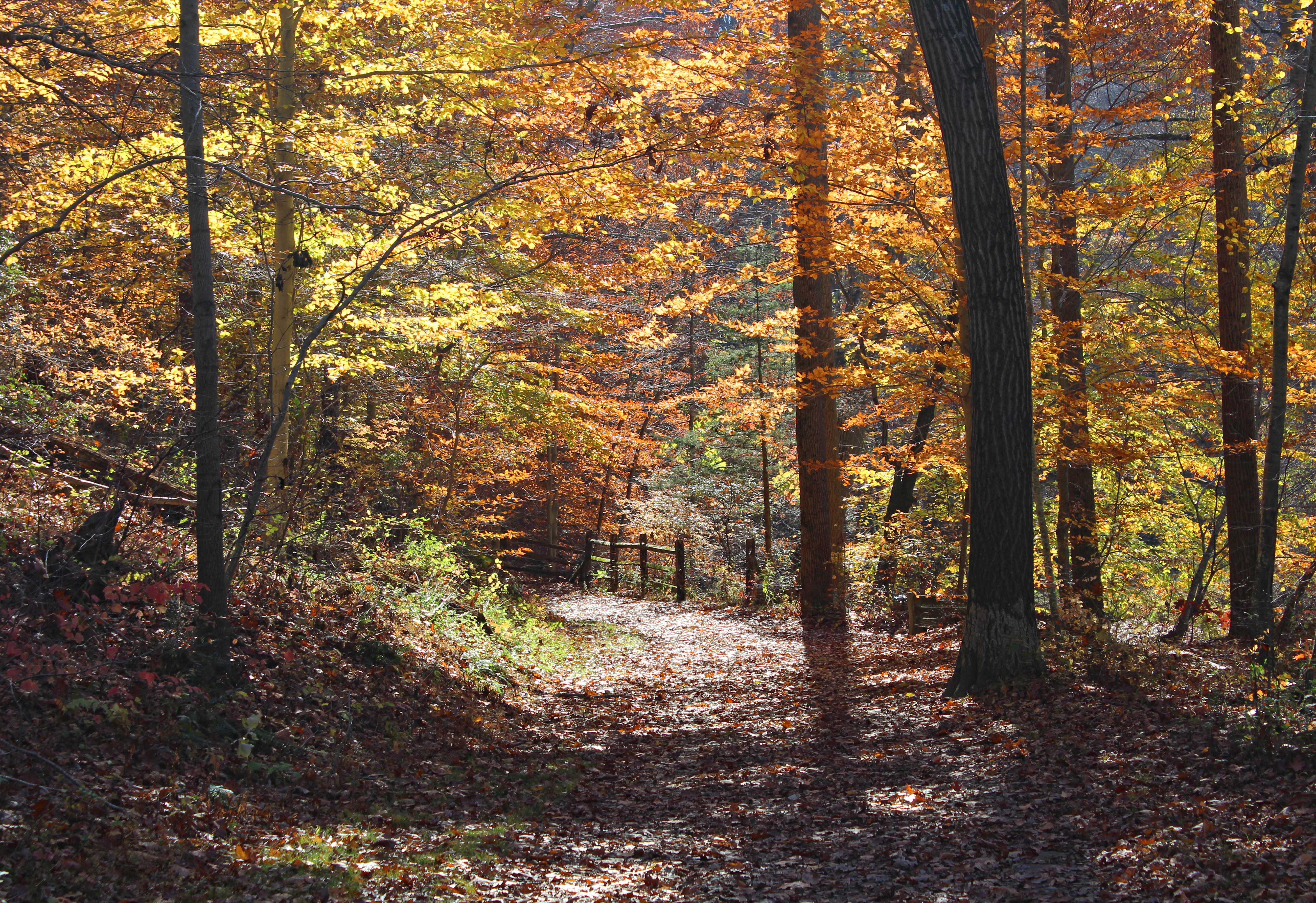
Still, there is one part of the park which is fit for an easy, scenic, stroll. The Springlawn Trail, which runs along the southwest bank of Big Elk Creek, has been a popular hiking destination for several years now, since well before the state acquired the surrounding land. It’s also the only trail currently shown on the official park map, though it’s worth pointing out that there are plenty of well-established paths in the part of the park between Strickersville Road and the MD border, though these are essentially just an extension of the Fair Hill trail network.

These photos are from a short walk I took down the Springlawn Trail in November 2022, on a warm day fairly late in the fall foliage season. A week later and most of the leaves were off the trees.
The trail follows an old road and has very little in the way steep inclines. To give an idea of just how gentle the track is, I took this walk while still battling lingering covid symptoms, and even then I barely had to exert myself.
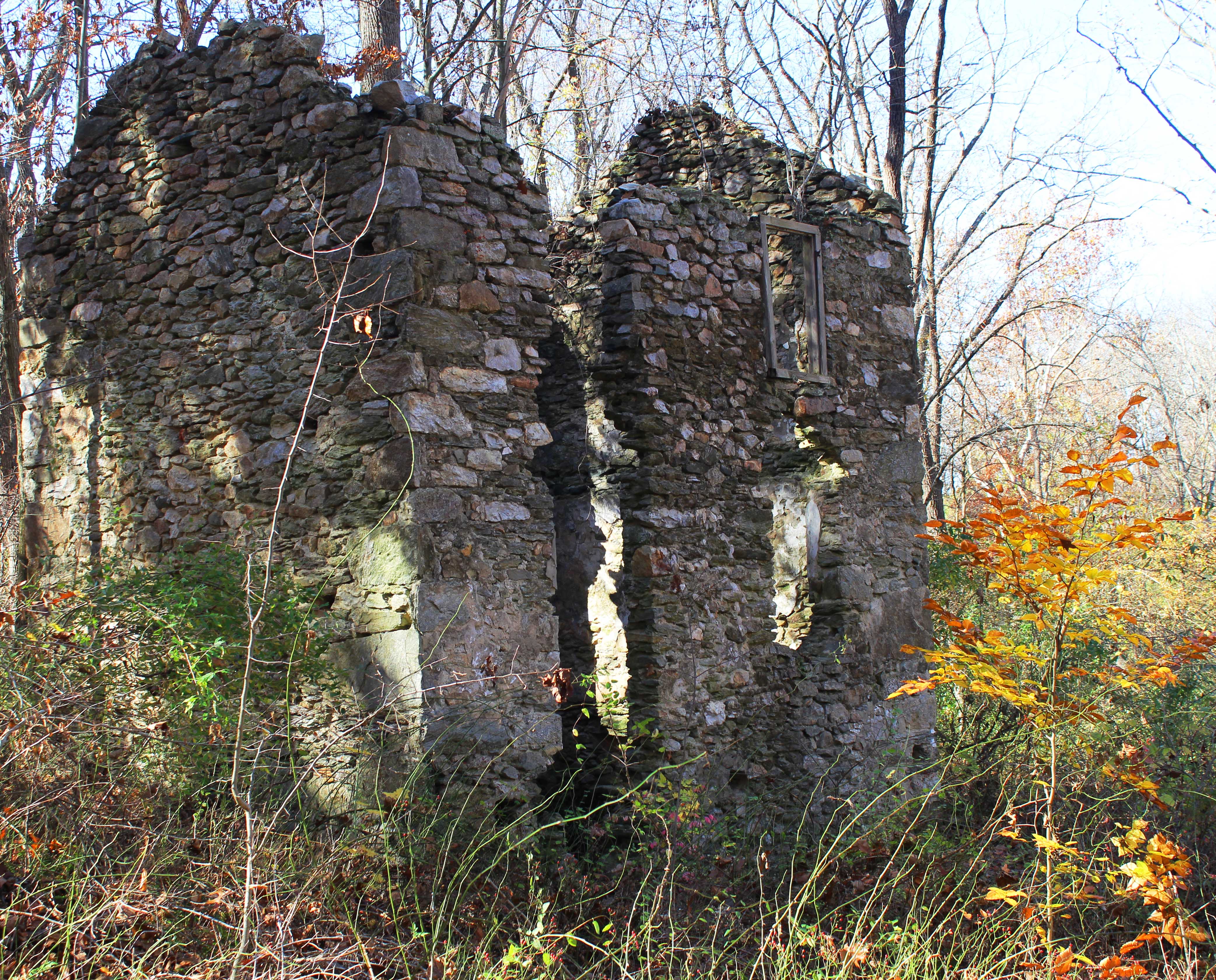
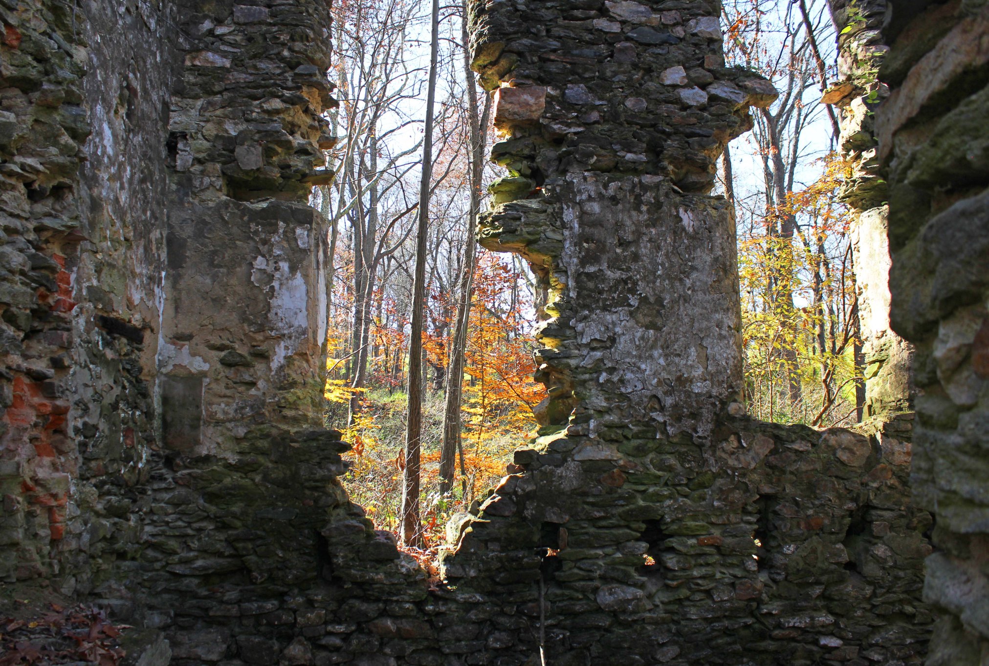
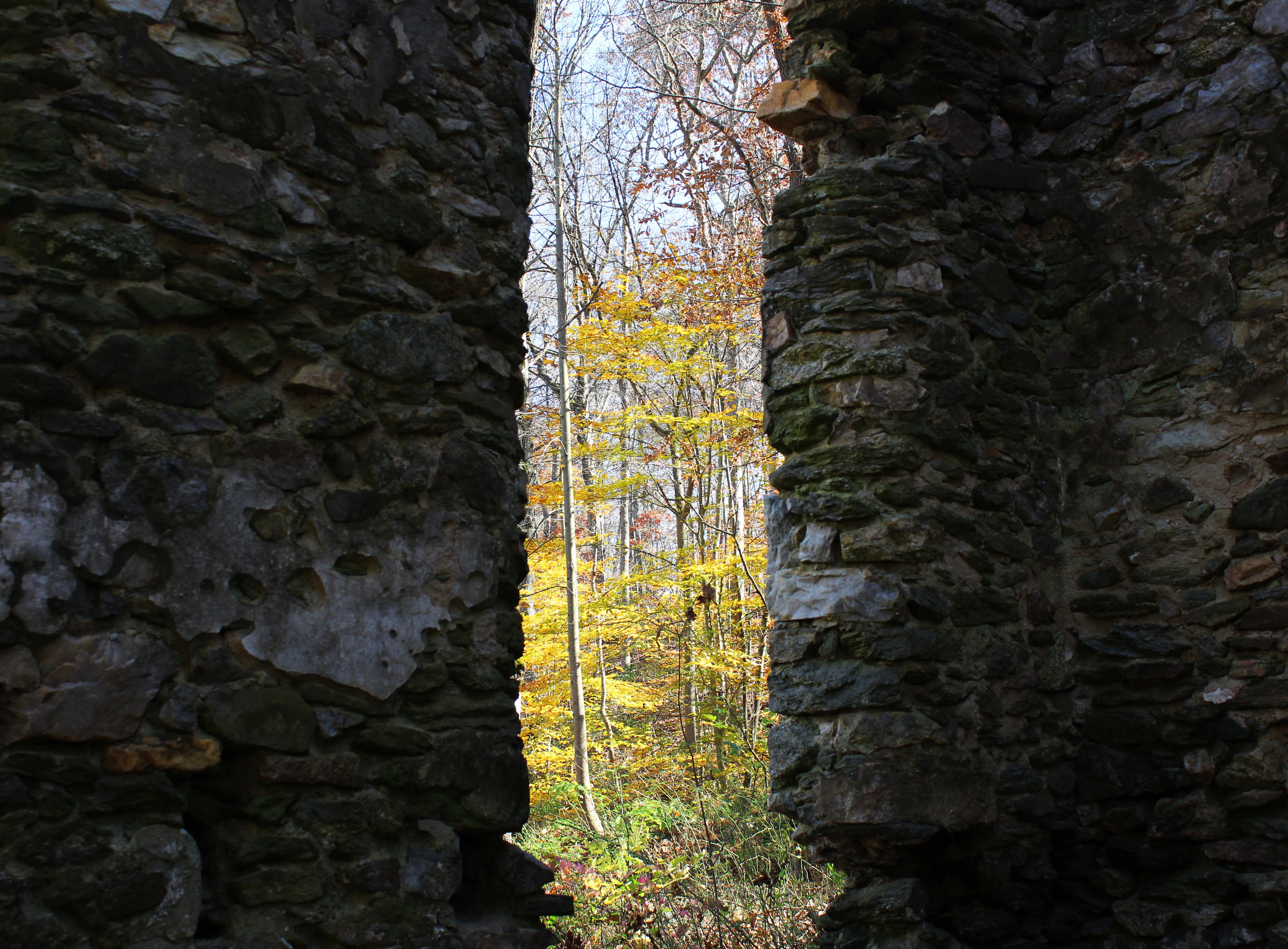
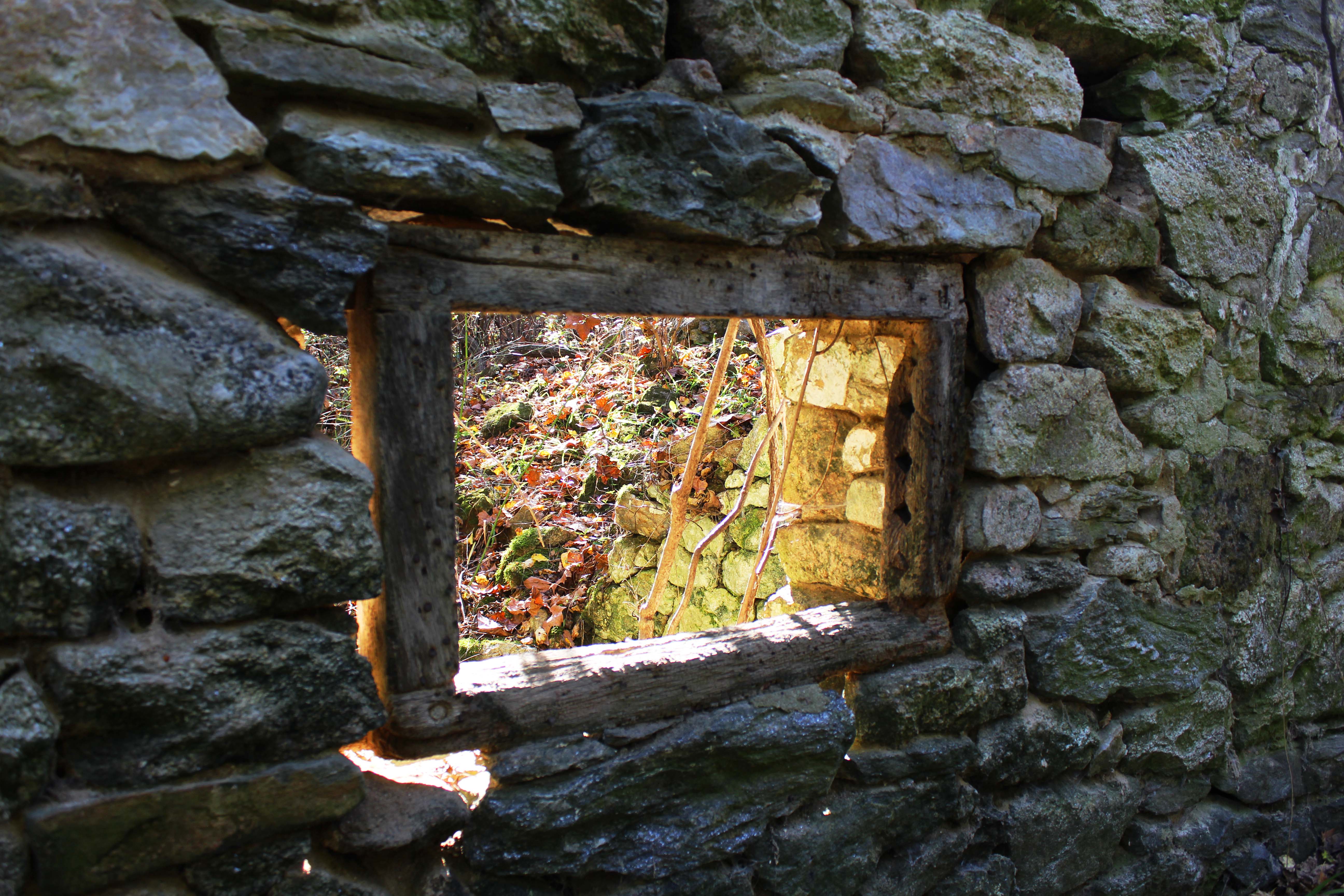
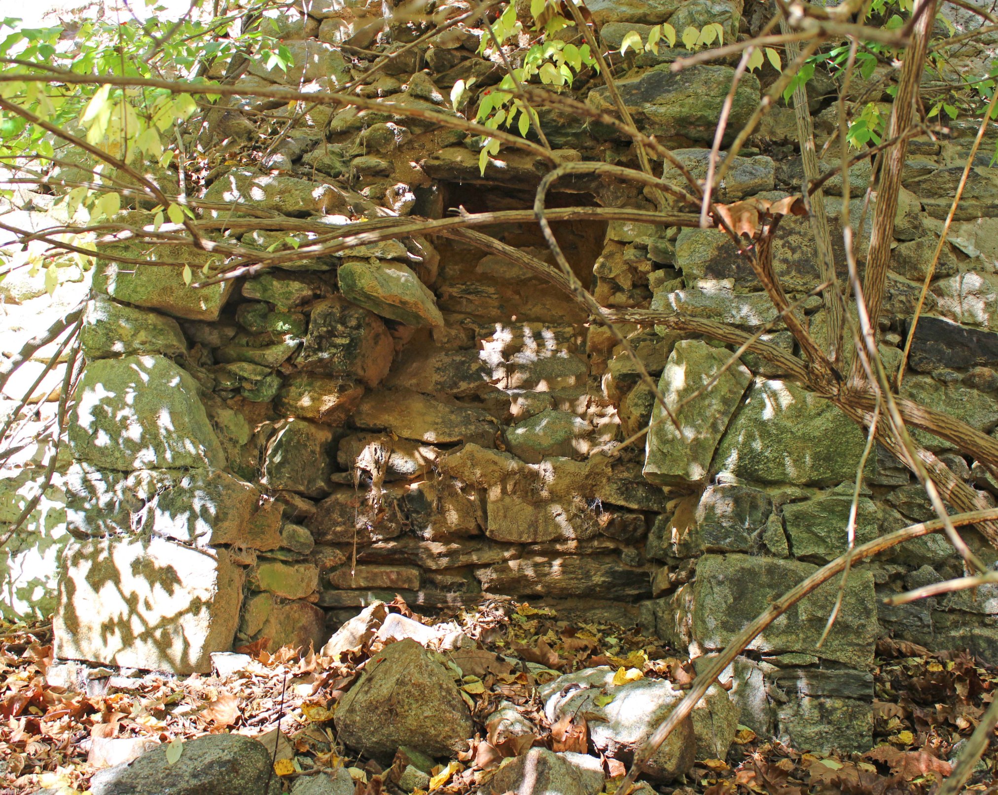
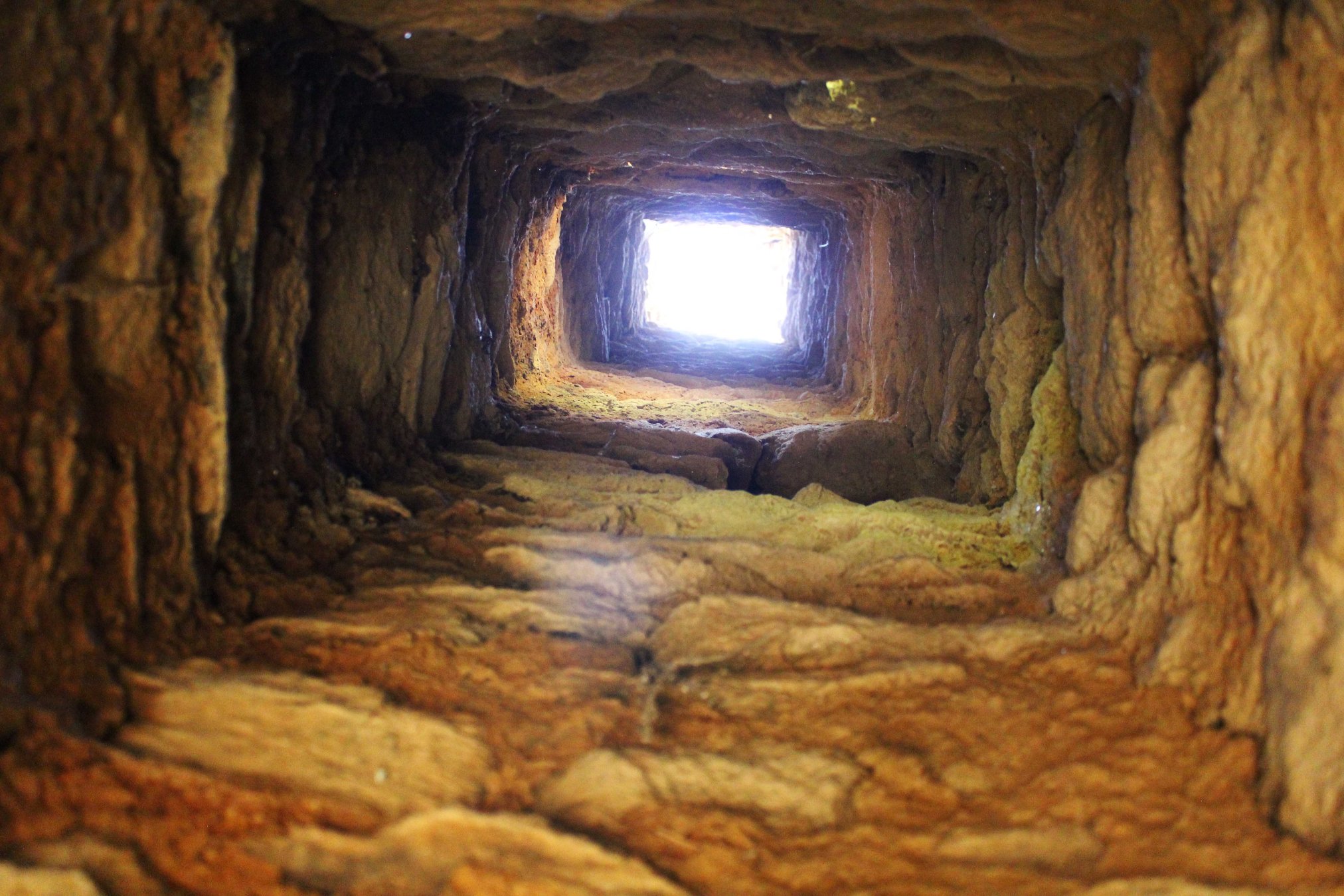
The path also passes by an extensive group of ruins that are thought to be the remains of the 19th century Springlawn papermill. Here’s a painted 1894 map of the mill, however I can’t say which bit of ruins corresponds to which structure shown in the painting. The most prominent ruin next to the trail appears to be a two story residential structure not depicted in the map, so I’m not sure what its relationship to the mill was. If anyone has any more information on the subject, I’d be interested to hear from you.
If you enjoyed this post, please consider supporting me on my Patreon page. There, you can download an extended edition of my book The Green Unknown which includes several chapters available exclusively on Patreon, as well as access a whole slew of other perks.

Enjoyed your article about Big Elk Creek Springlawn Trail & the map of the Mill. Are you aware that DCNR is planning an 80+ multi dwelling area for camping on this beautiful land. Many people that live near the park are trying to stop this massive camping they have planned.
LikeLiked by 1 person
Hello. If you would like more information about the old paper mill on Springlawn Trail, please contact the Naturalist for White Clay Creek Preserve and Big Elk Creek State Park, Sarah Sato. Sarah has an office in the White Clay Creek Preserve office building at the main Parking lot for the Preserve at Indian Town and London Tract Road. The large 2 story building was housing for the workers at the Paper Mill. Sarah has other pictures of the area. These pictures will be placed into the new Big Elk Creek Park Office and Nature Center after it gets approved and constructed. The info for the WCCP office is:
405 Sharpless Road
Landenberg, PA 19350-0172
Phone: 610-274-2900
LikeLike
Thanks for the info!
LikeLike